Web VTS allows displaying of charts/maps in an efficient and sophisticated manner such as:
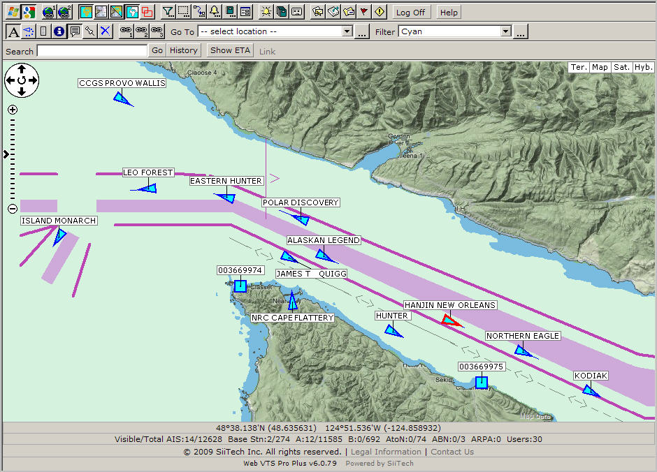
- displaying only Microsoft Virtual Earth Maps;
- displaying only Google Maps;
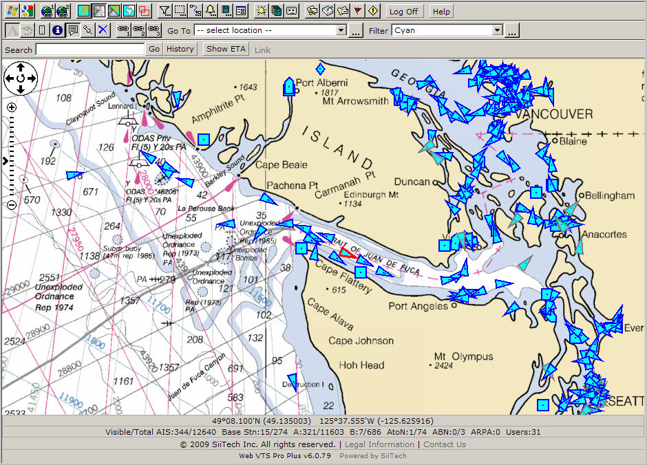
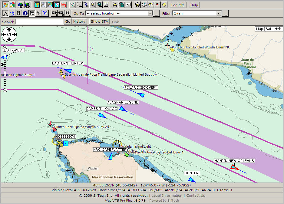
- displaying only S-57 vector navigational charts (NOAA charts);
- displaying only BSB raster navigational charts;
- displaying Microsoft Virtual Earth Maps and S-57 navigational charts (only water part) together;
- displaying Google Maps and S-57 navigational charts (only water part) together;
- displaying BSB raster navigational charts on top of S-57 vector navigational charts (NOAA charts);
- displaying Microsoft Virtual Earth Satellite image and S-57 navigational charts (only water part) together;
- displaying Google Satellite image and S-57 navigational charts (only water part) together;
- displaying OpenStreetMap (street maps);
- displaying the ArcGIS Online Tiles;
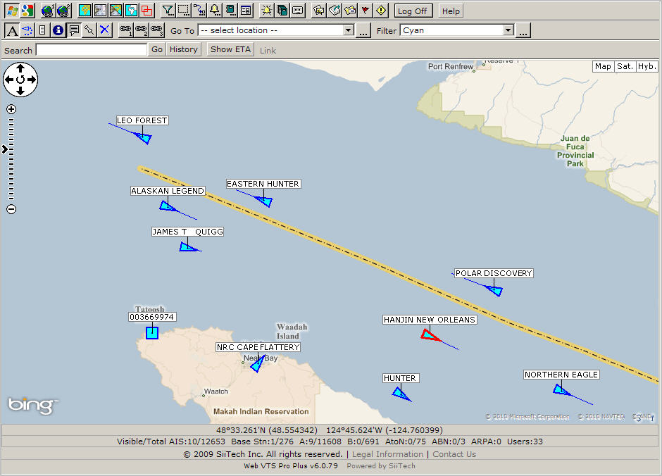
Click the Microsoft Virtual Earth Maps button ![]() to display the Microsoft Virtual Earth Maps, keep other charts/maps buttons
deselected.
to display the Microsoft Virtual Earth Maps, keep other charts/maps buttons
deselected.
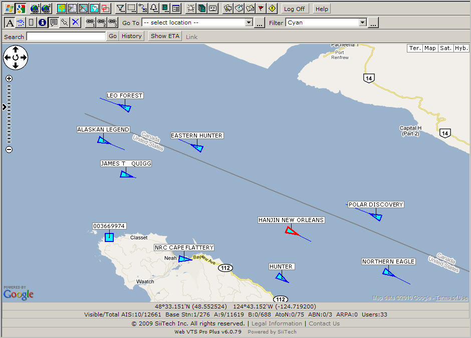
Click the Google Maps button ![]() to display
the Google Maps, keep other charts/maps buttons deselected.
to display
the Google Maps, keep other charts/maps buttons deselected.
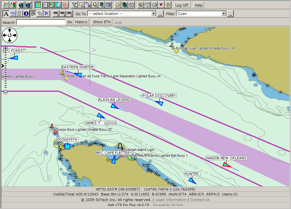
Click the Electronic Navigational Charts button ![]() to display the Electronic Navigational Charts (S-57), keep other charts/maps
buttons deselected.
to display the Electronic Navigational Charts (S-57), keep other charts/maps
buttons deselected.
If you have any questions how to display Electronic Navigation Charts, please e-mail support@siitech.com.
Click the Raster Navigational Charts button ![]() to display
the Raster Navigational Charts, keep other charts/maps buttons deselected.
to display
the Raster Navigational Charts, keep other charts/maps buttons deselected.
If you have any questions how to display Raster Navigational Charts, please e-mail support@siitech.com.
To display the Microsoft Virtual Earth Maps and S-57 navigational charts
(only water part) together, select three buttons: the Microsoft Virtual
Earth Maps button ![]() ,
,
the Electronic Navigational Charts button ![]() and the Water Only button
and the Water Only button ![]() ,
keep other charts/maps buttons deselected.
,
keep other charts/maps buttons deselected.
To display the Google Maps and S-57 navigational charts (only water
part) together, select three buttons: the Google Maps button ![]() ,
,
the Electronic Navigational Charts button ![]() and the Water Only button
and the Water Only button ![]() ,
keep other charts/maps buttons deselected.
,
keep other charts/maps buttons deselected.
To display BSB raster navigational charts on top of S-57 vector navigational
charts, select three buttons: the Electronic Navigational Charts button
![]() ,
,
the Raster Navigational Charts button ![]() and the
Raster Charts On Top button
and the
Raster Charts On Top button ![]() ,
keep other charts/maps buttons deselected.
,
keep other charts/maps buttons deselected.
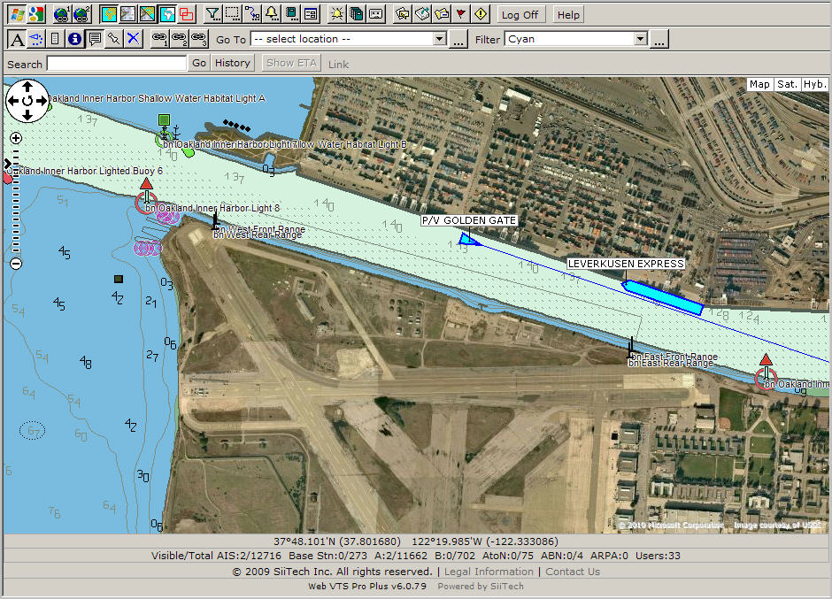
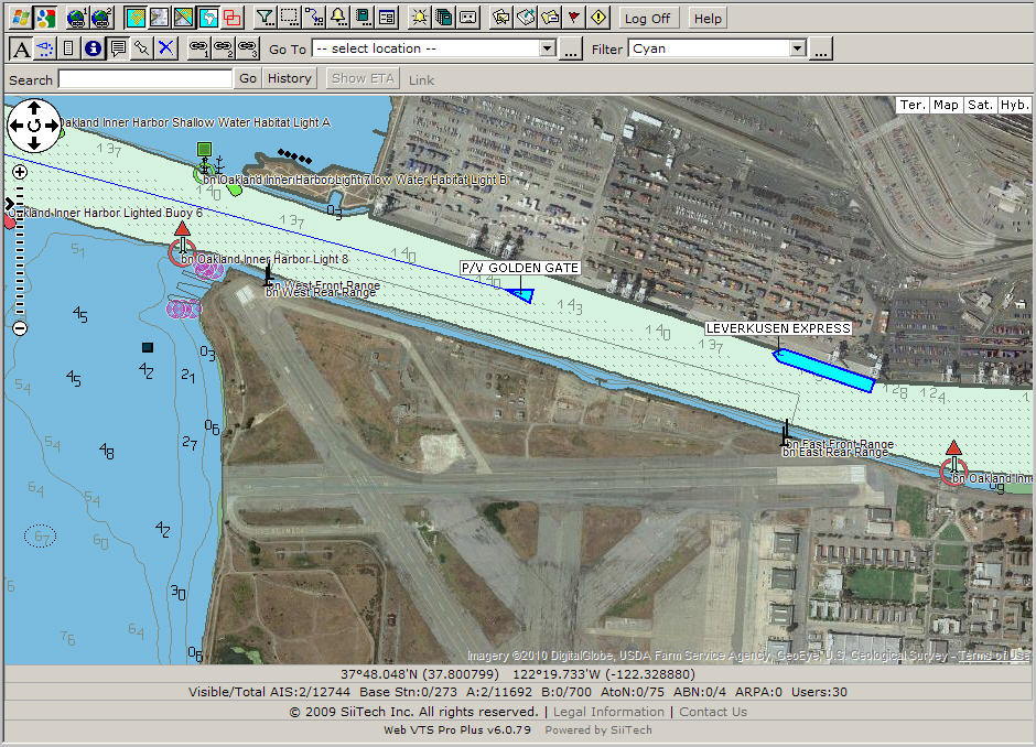
To display Microsoft Virtual Earth Satellite image and S-57 navigational charts (only water part) together, select three buttons:
the Microsoft Virtual Earth Maps button ![]() (select the Satellite mode) ,the Electronic Navigational Charts button
(select the Satellite mode) ,the Electronic Navigational Charts button
![]() and the Water Only button
and the Water Only button ![]() .
.
To display Google Satellite image and S-57 navigational charts (only water part) together, select three buttons:
the Google Maps button ![]() (select the Satellite mode)
,the Electronic Navigational Charts button
(select the Satellite mode)
,the Electronic Navigational Charts button ![]() and the
Water Only button
and the
Water Only button ![]() .
.
Click the OpenStreetMap Tiles button ![]() to display OpenStreetMap (street maps), keep other charts/maps buttons
deselected.
to display OpenStreetMap (street maps), keep other charts/maps buttons
deselected.
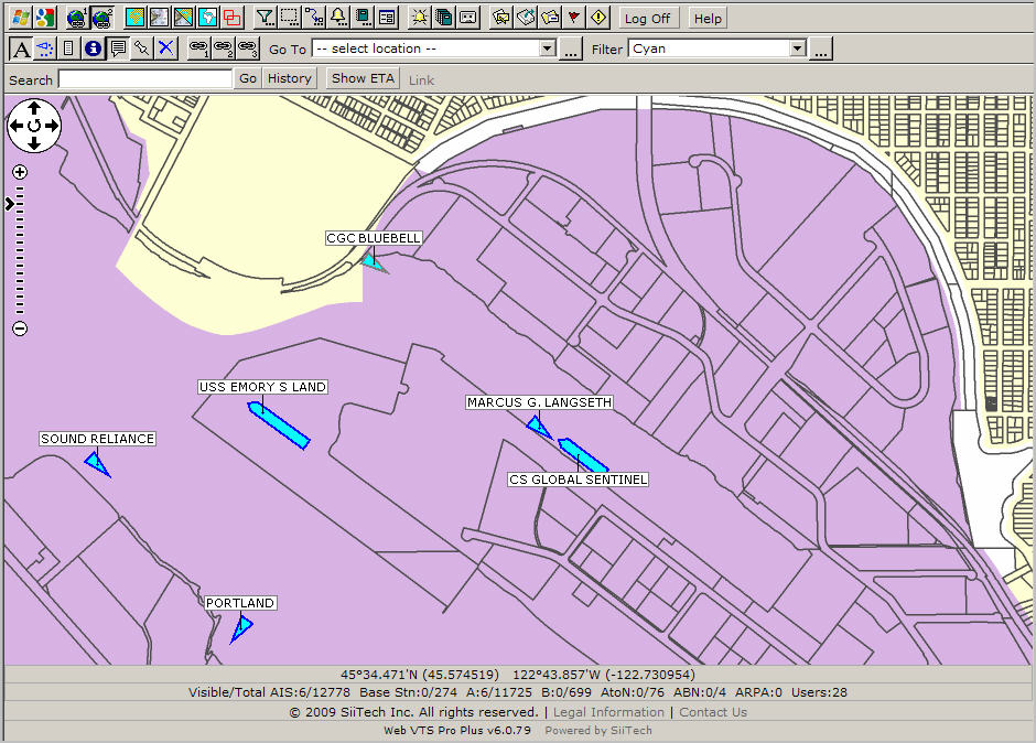
Click the ArcGIS Online Tiles (Portland) button ![]() to display the ArcGIS Online Tiles (Portland), keep other charts/maps
buttons deselected.
to display the ArcGIS Online Tiles (Portland), keep other charts/maps
buttons deselected.